We spent the first weekend in August at Cherokee Sunrise as recommended as one of the agent's (Taylor's) favorite properties and we were so pleased! The 100 year old cabin was beautifully refurbished with modern appliances and beautiful decor; the pond out front provided...
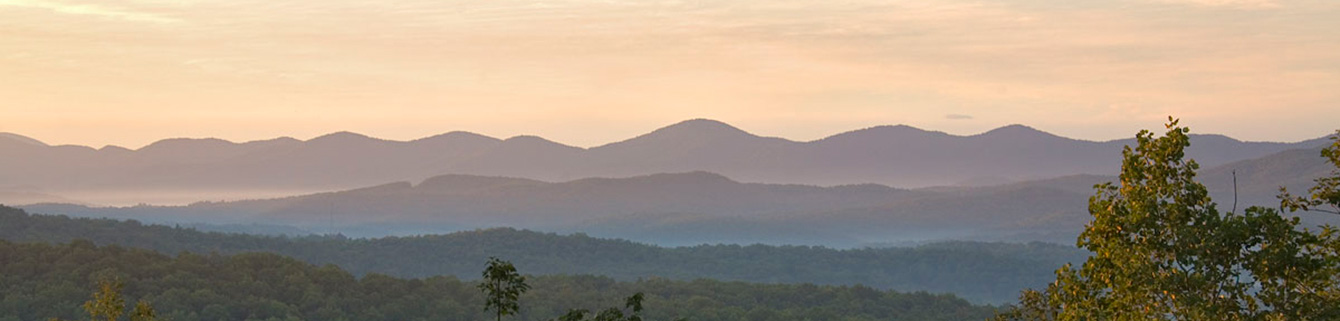
  The Long Branch LoopMountain Biking Level of Difficulty: Easy  Long Branch Loop is part of a hiking-mountain bicycling trail system 17.0 miles in length that has been developed on National Forest lands near Deep Gap on the Aska Road in south central Fannin County, Georgia. Trails range in length from 1-5.5 miles and are open to the recreational public year-round. Trails ascend to nearly 3200 feet, providing vistas of mountain ridges, and descend to the shores of beautiful Lake Blue Ridge. They also pass through coves of mature hardwoods as well as traversing thickets of laurel and rhododendron. Long Branch Loop is one of those trails that crosses or travels along mountain streams and provides a range of forested settings for the visitor. This trail begins at the northeast corner of the parking lot. It is marked with dark green blazes. The trail leaves the parking area and enters onto an old logging road. Within 300 yards, you will come to a fork in the road. Take the right-hand fork and go gradually downhill onto a roadbed. You will cross a creek and ascend gently onto a grassy road. At 0.75 miles, note white and dark green blazed side trails to the right. This leads to the Green Mountain Trail. Continue ahead on the road, bearing down to the left. Descend to branch, cross, and immediately ascend onto old skidding road. Go to ridge top, turn left, and follow alongside the recent timber harvest on the old road. After an additional mile, you will be back at the original fork in the trail. Turn right and proceed 300 yards to the parking lot. Trail Statistics & Information: Directions:
|  The MemoriesWe spent the first weekend in August at Cherokee Sunrise as recommended as one of the agent's (Taylor's) favorite properties and we were so pleased! The 100 year old cabin was beautifully refurbished with modern appliances and beautiful decor; the pond out front provided a lovely view from the screened front porch as did the field that served as the front yard; a doe and fawn visited us each morning and evening with the only sound being the bubbling of the spring feeding into the pond. A short walk led to the banks of the Noontootla where we enjoyed a swing over the water and a gazebo on the creekbank. We hiked the nearby Aska Trails and spent an afternnoon paddling Lake Blue Ridge, all in close proximity to this lovely homestead. We slept well in the comfy, spacious bed after long days of enjoying all the area has to offer - good restaurants, great outdoors, wildlife, quaint towns. I wish we had stayed a whole week; a weekend left us wanting more. We felt privileged to be the first guest in your lovely home. We are Louisiana Cajuns so we loved your six burner gas stove, pots and pans. Your bed linens were lovely also. We enjoyed a week of relaxation and rest. Hope to be back soon. We felt privileged to be the first guest in your lovely home. We are Louisiana Cajuns so we loved your six burner gas stove, pots and pans. Your bed linens were lovely also. We enjoyed a week of relaxation and rest. Hope to be back soon. |


