Amicalola Falls State Park located in the North Georgia Mountains is one of Georgia's most popular state parks. Breathtaking scenery and hiking trails of all levels of difficulty are part of the popularity, but the greatest appeal is the 729 foot waterfall. Boasting the largest waterfall east of the Mississippi River, Amicalola Falls is a beautiful natural wonder. Amicalola means "tumbling waters", and you can see up close and personal on a bridge that faces the falls that it's actually of series of waterfalls.
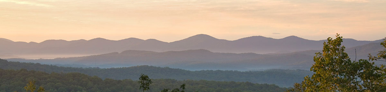
As you hike to the top of Amicalola Falls, you will capture stunning mountain views on the East Ridge Trail and Appalachian Approach Trail loop. The hike begins at the Amicalola Falls State Park visitor center (view maps and driving directions). The route passes under a stone arch marking the beginning of the Appalachian Trail Approach Trail, a 10 mile hike to the Appalachian Trail’s southern terminus on Springer Mountain. Numerous other trails provide shorter day hikes.
Amicalola Falls Trail is actually two trails, the Base of Falls Trail and the waterfall's trail, with two entirely different personalities. The Base of Falls Trail parallels the paved road between the visitors center and the reflecting pool, crossing it once and ending up at the southwest corner of the lower falls parking lot. The falls portion of the Amicalola Falls Trail is a steep, paved trail that requires a good deal of effort to climb up, even for a seasoned hiker. For this reason it is suggested that you climb to the top of the falls via the East Ridge Trail and come down the Top of Falls Trail on the return. This hike is much easier....
Amicalola Falls State Park located in the North Georgia Mountains is one of Georgia's most popular state parks. Breathtaking scenery and hiking trails of all levels of difficulty are part of the popularity, but the greatest appeal is the 729 foot waterfall. Boasting the largest waterfall east of the Mississippi River, Amicalola Falls is a beautiful natural wonder. Amicalola means "tumbling waters", and you can see up close and personal on a bridge that faces the falls that it's actually of series of waterfalls.
As you hike to the top of Amicalola Falls, you will capture stunning mountain views on the East Ridge Trail and Appalachian Approach Trail loop. The hike begins at the Amicalola Falls State Park visitor center (view maps and driving directions). The route passes under a stone arch marking the beginning of the Appalachian Trail Approach Trail, a 10 mile hike to the Appalachian Trail’s southern terminus on Springer Mountain. Numerous other trails provide shorter day hikes.
Amicalola Falls Trail is actually two trails, the Base of Falls Trail and the waterfall's trail, with two entirely different personalities. The Base of Falls Trail parallels the paved road between the visitors center and the reflecting pool, crossing it once and ending up at the southwest corner of the lower falls parking lot. The falls portion of the Amicalola Falls Trail is a steep, paved trail that requires a good deal of effort to climb up, even for a seasoned hiker. For this reason it is suggested that you climb to the top of the falls via the East Ridge Trail and come down the Top of Falls Trail on the return. This hike is much easier.
At the top of Amicalola Falls, a bridge has been built out over this stunning waterfall that boasts what is unequivocally the best view of the Southern Appalachian Piedmont in Georgia. Spreading out for miles, on a clear day you can see the Allatoona Mountains some 30 miles away. On the west side of the bridge, a system of stairs and landings take you to the upper viewing platform. From this vantage point there is a good view as the water tumbles over the top of the falls. From the upper platform, stairs and landings take you to the lower bridge, which crosses the face of the falls some 250 feet below the top, affording a tremendous view of the falls- perfect for photographs. Down another flight of steps is the lower platform, with another great view of the falls and the bridge. From the lower platform to the reflecting pond the trail is steep but paved.