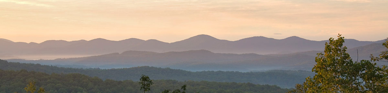
This ride has most of the things that make northern Georgia trails so great. South Fork Trail starts out with a moderate climb along FS64, rewarding you for your efforts with a great overlook back to the east, from whence you came. The descent that follows is a constant temptation to go way too fast, with some banked turns along the way (remember, the road is open to motorized traffic). At the end of the descent, turn right onto a singletrack trail that follows an old logging roadbed paralleling parts of the south fork of the Jack's River.
You'll cross some creeks and streams, and sections of the trail are rocky and technical. Along the way, the sound of rushing and falling water through the trees beckons you to investigate, and if you do, you won't be disappointed.
You will come across some great waterfalls in two separate forays into the woods (off-bike, of course). Toward the end of the singletrack, you'll experience two awakening (or refreshing, depending on the season) fords across the river. After the second ford, you will rejoin another gravel forest road for the return trip, which is just long enough to dry your shoes and steep enough to warm you up again. All in all, this is a great ride and well worth the trip. Tread: 2.9 miles on singletrack, but you can make it an 8 mile loop with FS126 and FS64.
Trail Statistics & Information:
Length: 2.9 miles singletrack
Difficulty: Intermediate